Highlights:
Accuracy without GCPs: 3 cm horizontally / 5 cm vertically
Global Mechanical Shutter, Shutter Speed 1/2000 Seconds
Smart Oblique Capture
45 MP Full-frame Sensor
Includes a 6 months license for DJI Terra Electricity Version
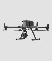
Your Go-to Tool for Aerial Photogrammetry
Extraordinary Efficiency The P1 includes a full-frame, low-noise high-sensitivity sensor that can take a photo every 0.7 s during the flight, and covering 3 km2 in a single flight. Remarkable Accuracy Equipped with a global mechanical shutter and the all-new TimeSync 2.0 system, which synchronizes time across modules at the microsecond level, the Zenmuse P1 lets users capture centimeter-accurate data combined with the real-time position and orientation compensation technology.
Robust Versatility
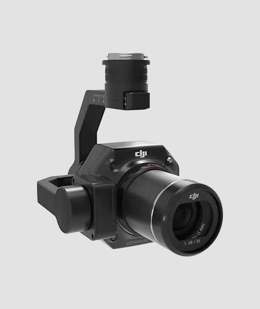
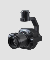
Create 2D, 3D, and detailed models thanks to the integrated 3-axis gimbal that can be outfitted with 24/35/50mm lenses and the Smart Oblique Capture feature.
Full-frame Camera
45MP Full-frame Sensor
4.4μm Pixel Size
Low-noise, high sensitivity imaging extends daily operational time
Take a photo every 0.7 s during the flight
TimeSync 2.0 aligns the camera, flight controller, RTK module, and gimbal at the microsecond level
Work Smart, Work Fast
Smart Oblique Capture
Cover 7.5 km2 in a single workday with the P1. Elevate the efficiency of your oblique photography mission using Smart Oblique Capture, where the gimbal automatically rotates to take photos at the different angles needed. Only photos essential to the reconstruction will be taken at the edge of the flight area, increasing the efficiency of post processing by 20%[5] to 50%.
Smart Data Management
Your mission data management - streamlined.
Mission result files are automatically associated with the Mission Name and Mission Time. A centralized storage location for photos, GNSS data, and TimeStamps.MRK files. The image metadata contains the camera’s intrinsic and extrinsic parameters and the status of RTK.
Fieldwork Report
Verify data quality immediately post-flight by checking the position data and number of the images acquired, as well as RTK status and positioning accuracy.
A Mission Mode for Any Scenario
2D Orthomosaic Mission
3D Oblique Mission
Detailed Modeling Mission
Real-time Mapping Mission